The Flatirons
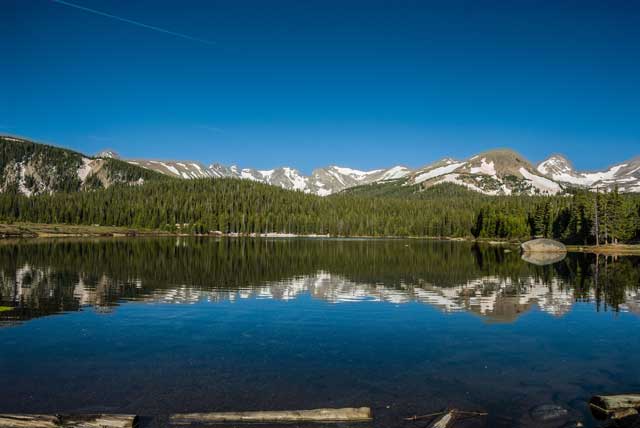
The Indian Peaks
Item Number: B-332 
Location: Brainard Lakes, Boulder, CO
Prices and sizes are available for viewing when you press the order button.
To see framing options, click here.
The Indian Peaks form the western boundary of Boulder County. The ridgeline is also the farthest East the Continental divide travels.
This water flows to the Mississippi River while on the other side it flows to the Colorado River and Gulf of California.